Project Detail
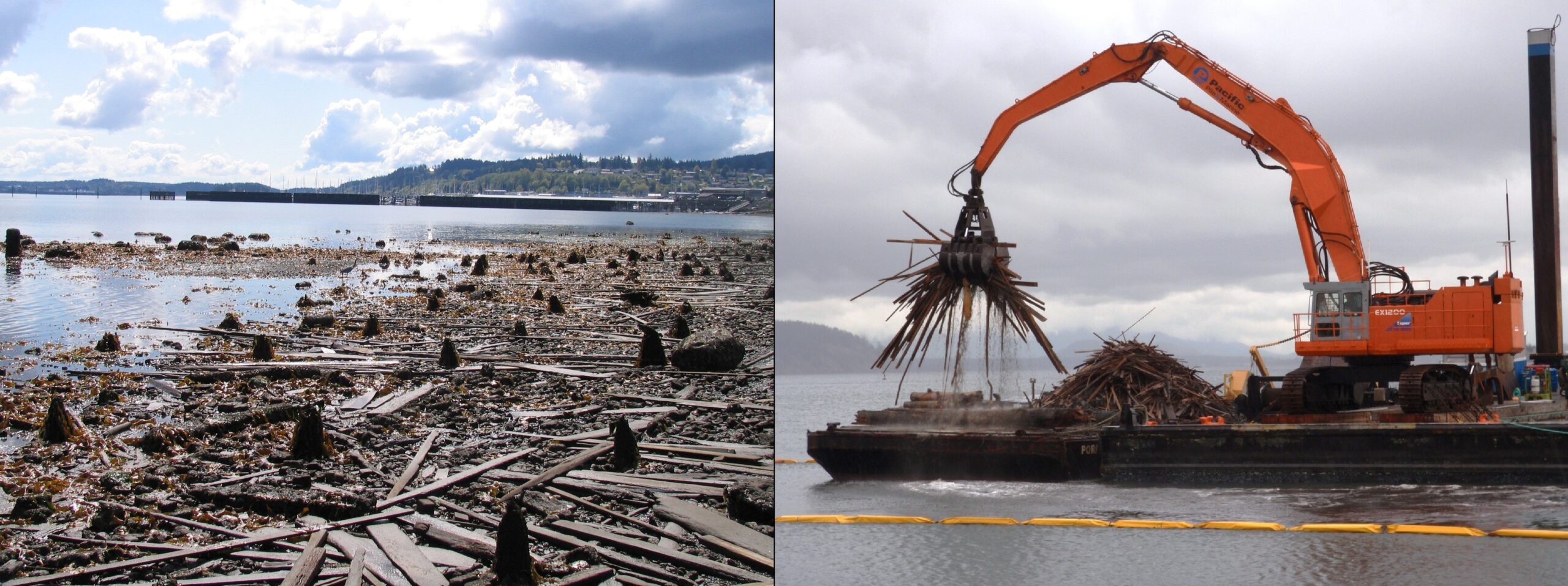
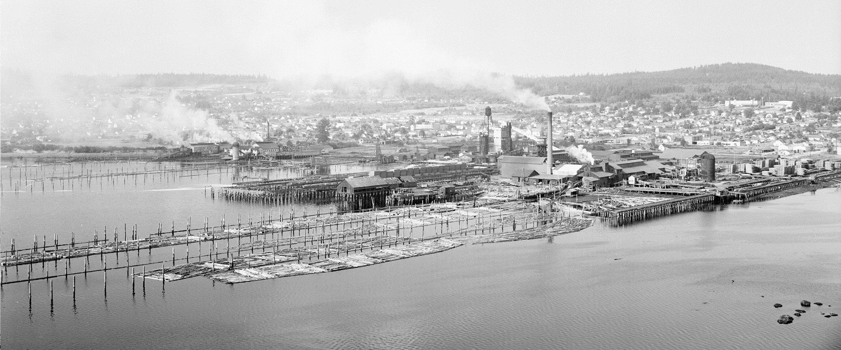
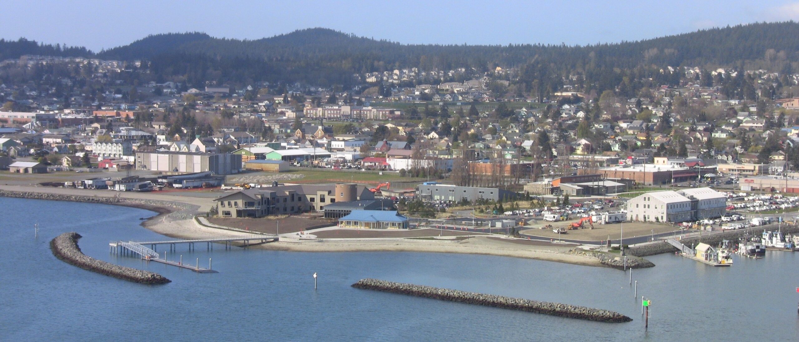
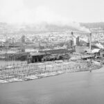
The Scott Paper Mill Cleanup project was a multi-phase project sponsored by the Port of Anacortes and Kimberly Clark to reclaim and clean up the offshore and near-shore areas of the former Scott Paper facility. Sampling showed soil contamination was present to a depth of 15-ft and spread offshore several hundred feet. Work involved in-water dredging and upland excavation of contaminated soils; open-water and upland disposal; clean, environmental capping; construction of a concrete pier; and the construction of two (2) new breakwaters. 84,000 CY of contaminated Subtitle D material was environmentally dredged and placed on flat decks using environmental-sealed bucket to be transported for upland disposal. 20,000 CY of clean material was dredged for open-water disposal to the Port Gardner DMMP unconfined open-water disposal site. Dredging and capping were primarily performed using a barge mounted Hitachi 1200 hydraulic excavator equipped with an articulating clam shell bucket, RTK-GPS, and boom angle sensors in combination with Dredgepack navigational software for efficient handling and precise placement of the material. Sediment curtain in-place during dredging operations. Pile stubs and wood waste within the dredge limits were removed. 44,844 tons of armor and core stone was imported to the site by barge to construct the new attenuators; 41,985 tons of marine cap was placed by barge and 2,859 tons of attenuator stone was placed from land-based excavators. Stone placed by barge used a GPS system and handling claw for precise placement. Environmental marine cap was placed over the shoreline where remedial excavations occurred. 38,000 CY of clean material was dredged and placed as backfill. Stockpiled soil was characterized to determine whether it was acceptable for reuse as fill. Due to the shallow nature of the site, PPM took great care to protect the eel grass beds and other natural habitat during transportation and positioning. PPM utilized a 142-ft long by 50-ft wide by 12-deep scow outfitted with two heavy duty spuds for anchoring and stability at desired locations. The spuds were 90-ft long allowing the barge to anchor in 60+ feet of water. The barge was also equipped with heading sensor in order to track its position in the GPS system. Prior to commencement of in-water placing activities, PPM performed an eelgrass limit survey to confirm the existing limits of eelgrass within the project area to identify proposed navigational access corridors to minimize potential damage to existing established eelgrass beds during construction. Pre- and Post-construction bathymetric surveys were conducted to validate placement of material. Used in combination with a DGPS system, electronic boom angle sensors and electronic tide gauge, Dredge Pack computed the coordinates and elevation of both the vessel and the bucket for real-time reporting and accurate placement. The marine cap material layer was constructed to form a uniform layer having a final thickness 3-ft above the finished dredged profile. A tolerance of +/- 3-in from the finished thickness was maintained. Water Quality Testing was conducted throughout the project. Project was performed under the MTCA Program in full coordinated with the U.S. Army Corp of Engineers and Department of Ecology.